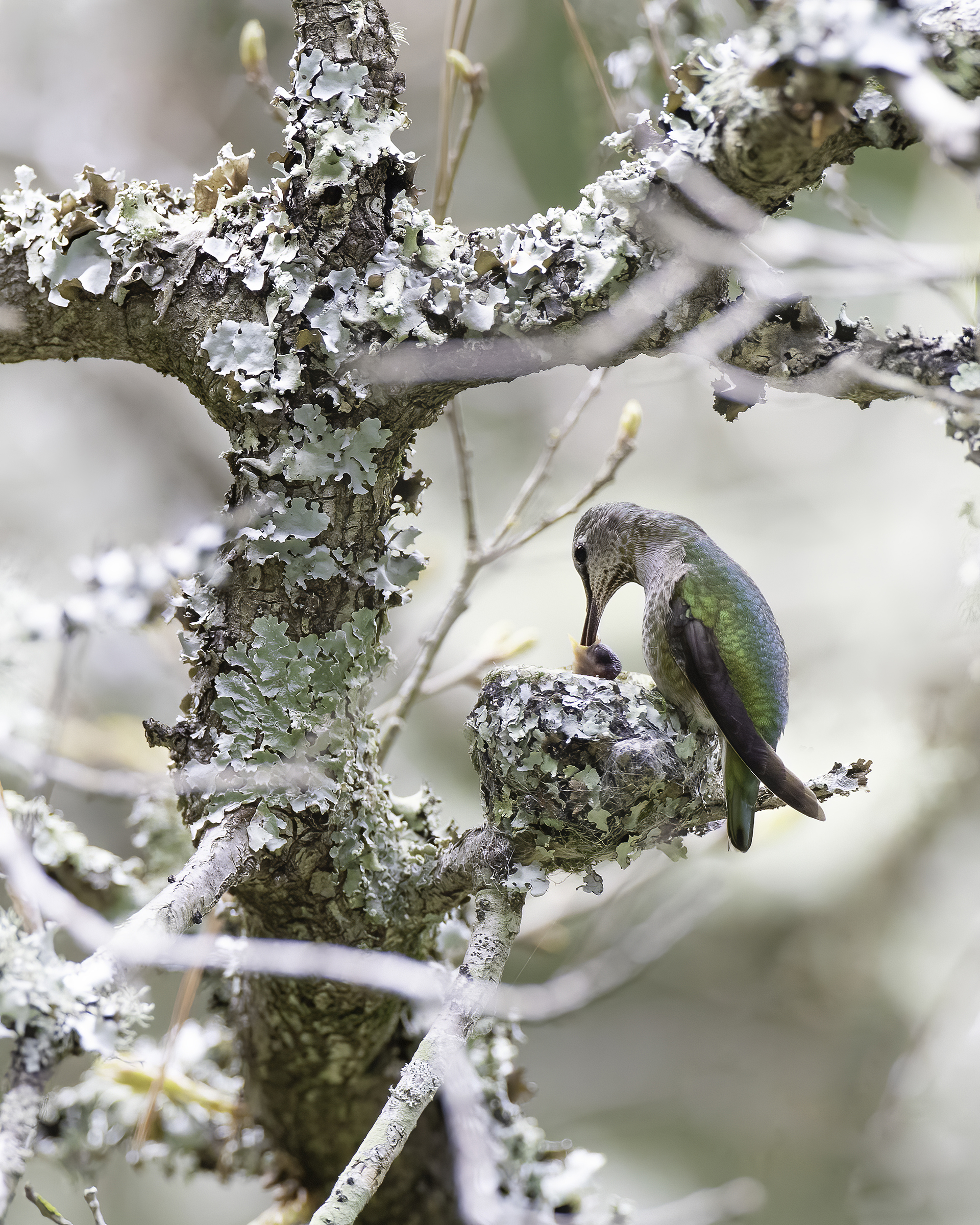
Female Anna’s Hummingbird & Hatchling – by Elyse Omernick
Welcome to the Marin County Breeding Bird Atlas 2
The Breeding Bird Atlas is a multi-year project that is mapping the distribution of birds that nest in Marin County. This project is a repeat of a survey begun in the 1970s by Bob Stewart and Dave Shuford. Over four field seasons, Stewart and Shuford supervised scores of volunteers to gather data using a grid system overlaid onto topographic maps of Marin County. Their field work culminated in the publication of Shuford’s landmark Marin County Breeding Bird Atlas. The main goal of this second Atlas (MCBBA2) is to determine the current distribution and composition of breeding birds, four decades later.
We have completed our fifth and final year of field work for this effort, which ran from 2021-2025. While we are largely replicating the field methods used by our predecessors 40 years ago, certain innovations have been introduced by GIS mapping technology, data storage infrastructure, and some changes to the field methods.
Donate to our funding challenge
To kick off the final phase of MCBBA2 we are announcing a $10,000 matching challenge made possible by two $5,000 lead gifts from generous Atlas volunteers. Double your impact by December 31! Your contribution will help us to initiate data analysis, interpretation, and production of the final Atlas! There are multiple ways for you to contribute to this Matching Challenge (and any amount helps!):
- Donate via PayPal:
- By check made payable to “Breeding Bird Atlas” and sent to:
Marin County Breeding Bird Atlas
c/o Daphne Hatch
67 Pinheiro Circle, Novato CA 94945
- Contact Daphne Hatch at if you are considering a donation through a DAF (donor-advised fund) or a QCD (Qualified Charitable Donation) from a retirement fund.
This work is in continued partnership with Marin Audubon Society (our fiscal sponsor) and Point Blue Conservation Science. We are grateful to Marin Audubon and all of you who have supported us thus far!
MCBBA2 Annual Report
The MCBBA2’s fifth annual report, for the 2025 season, is now available HERE. It summarizes our preliminary findings to date, and the next steps for the project. We thank our amazing volunteers and supporters, and the ongoing support from Marin Audubon for making this possible.
MCBBA2 Data Explorer
The Data Explorer has been our go-to tool to track Atlas progress, including species diversity and distribution over the course of our 5 years of surveys. Look here for project maps, and to compare breeding species from the historic atlas to the current atlas. Like the name says: explore, and you’ll find all sorts of resources HERE.
Marin County Breeding Bird Atlas 2 – Frequently Asked Questions
What is a breeding bird atlas?
A breeding bird atlas is essentially a stack of maps that show the geographical distribution of birds that are nesting in a given area. An atlas project sets out to gather data for such maps within a set study period. Breeding behavior and its distribution across this area can be tracked over time, related to habitat features, and quantified in various ways. A work like this is based on a body of data that is accumulated over several years of field work.
How can I donate to support the Marin County Breeding Bird Atlas?
We are so grateful for all the volunteers that make this project a success. Even with all this generous volunteer support, we also have a number of expenses that we have to fundraise to cover to ensure the success of this endeavor. To that end, we are actively seeking donations to help support the Atlas. If you are interested in contributing a tax-deductible donation – any amount helps! – Please donate by PayPal or send a check made out to the “Marin County Breeding Bird Atlas”, ℅ Daphne Hatch, 67 Pinheiro Circle, Novato CA 94945. Or please contact Daphne at if you are considering a donation through a donor-advised fund. MAS is the fiscal sponsor of MCBBA2.
Who leads this effort?
This project is overseen by a Steering Committee that includes the three-member MCBBA2 project coordination team (listed in the Contact Us section of this webpage) and three Marin Audubon Society members (Barbara Salzman, Doug Waterman, and Martha Jarocki). The three MCBBA2 volunteer team members coordinate the project, and with the help of a part-time Project Manager from Point Blue Conservation Science, Hilary Allen. In addition, other volunteers graciously help with various roles, including Susan Kelly as our Volunteer Coordinator. A GIS specialist, Will Wiskes, assists with geospatial data and created and curates the MCBBA2 Data Explorer found HERE. We may have the need for more volunteer help (in the following categories: volunteer engagement, data management, and fundraising) – reach out if interested! We are deeply grateful to former Steering Committee member and Regional Coordinator Joan Lamphier (1942-2022), who we lost unexpectedly, for her countless contributions. We will all miss her and her wonderful spirit.
How long will this project take?
The field work will be conducted during the breeding seasons of four consecutive years: 2021-2025. Production of the summary Atlas will go beyond 2025.
Will you survey the county all at once?
In order to survey the county in a systematic way, a grid system has been overlaid onto topographic maps of Marin County. This grid system results in 221 cells, or ‘study blocks’, each of which will eventually be surveyed by one or more volunteers. Over the five years, the goal is to achieve adequate coverage as defined ahead of time. So, the survey will not take place county-wide simultaneously; however, at any given time during the 2021-2025 breeding seasons, a significant proportion of blocks will be surveyed.
Who provides these observations?
Most observations have been provided by ‘Block Leaders’; that is, skilled volunteers who take responsibility for the field work, data collection, data entry, and data proofing for their adopted block (or blocks). Those who would like to survey but cannot take on the responsibilities of a Block Leader are still welcome to add their findings through our incidental data form (see below).
May I volunteer?
As we near the end of our field effort, we will have only experienced Atlas volunteers conducting most of the surveys, but again, we still very much welcome breeding bird observations through our incidental data form (see below, and which can be quickly referenced in the third gray panel titled “Submitting Your Data & Observations”) and encourage anyone interested to reach out to us about potential participation.
I see birds nesting in my backyard or on my walks. How may I report these?
Anyone can contribute data on breeding birds. While you may do so by using eBird, a citizen science database with desktop and phone applications and a great place to capture such data in general, we will not be incorporating eBird data into the Atlas (or only very minimally). For your data to contribute directly to this project, please fill out the MCBBA2 Incidental Breeding Behavior web form, which can be quickly referenced in the third gray panel titled “Submitting your Data and Observations”, to provide reports of specific observations by location, species, and date.
I am a landowner / manager, and I’m willing to have birders come and survey my property. How can I get in touch?
It is best to get in touch with Liz Lewis, one of our Project Coordinators (), who is helping coordinate some of the private land access for this project. The Breeding Bird Atlas staff and volunteers are committed to mutually beneficial collaborations with Marin’s farm and ranch owners, as well as managers of major properties.
Are there other ways to help, such as data proofing or other clerical needs?
Help like that can be used! Please contact the Project Coordinators at
My son/daughter is interested in birding. Can they participate?
How they can help with the project depends on their skills. If you’re not sure, email us at:
When during the year do surveys take place?
To try to focus on the peak breeding period, and avoid periods where there are lots of migrants or when breeding is scarce, the official Atlas field season is April 15 to July 15. The atlas staff will accept some breeding records before and after these dates, which are to be provided via the Incidental Breeding Behavior web form, which can be quickly referenced in the third gray panel titled “Submitting Your Data & Observations”.
Will the Atlas publish the location of nests?
No, exact nest locations will not be published. The published maps will relate solid breeding evidence only to the atlas study blocks, which average about 1500 acres. This project’s prime mission is bird conservation; for this reason, the protection of our species is prioritized.
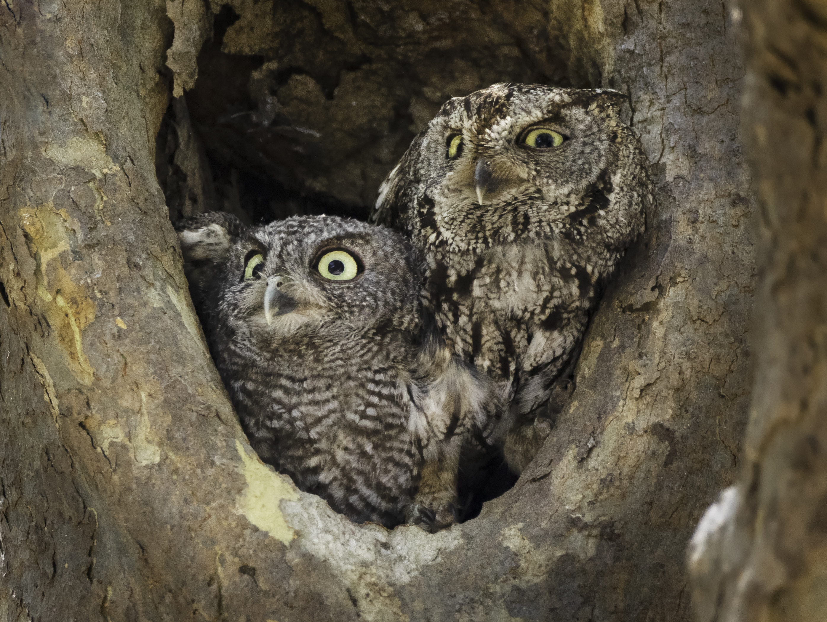
Juvenile & Female Western Screech Owl – by Elyse Omernick
Project Contacts
MCBBA2 Project Coordinators
Contact us at or if you have specific questions about the project you can contact one of the Project Coordinators:
Daphne Hatch:
Liz Lewis:
Rusty Scalf: New 2025!
Project Managers
The Project Managers are tasked with completing data review, and analysis including development of the final Atlas products.
Hilary Allen:
Diana Humple: .
Protocols and Instructions for Volunteers
Block Leaders and Additional Observers are directed to the MCBBA2 Data Explorer (on bottom of this webpage, or click HERE) > More Resources > Handbook & Instructions for the Volunteer Handbook, field form, and the other resources they will need. Some of the handbook is reproduced in separate PDFs. If you do not locate information that you need, please get in touch with one of the Volunteer Coordinators. A few tutorial type resources can be found in the “Webinars & Videos” panel.
Submitting your Data and Observations
Official Atlas Surveys
Block leaders: for instructions on how to collect your data and submit your data, please see the MCBBA2 Data Explorer (bottom of this webpage) > More Resources > Handbook & Instructions section.
Observations Outside of Official Surveys: The Incidental Breeding Observations Webform
Members of the public and block leaders: Use this online incidental data entry portal to submit confirmed and highly-probable evidence of breeding that falls outside of official block surveys that either:
– Are observed by birders, any members of the public, and any interested contributors to the Atlas (other than block leaders), any time and anywhere in Marin County
– Are observed by block leaders (1) outside of the April 15 – July 15 Atlas period, or (2) incidentally in any blocks outside any official survey.
Webinars & Videos
We are delighted to share three webinar recordings that coincide with our Breeding Bird Atlas efforts. Please click the links below to watch each recording. Enjoy!
GIS Conservation – The Breeding Birds of Marin County – by William Wiskes
Marin’s Breeding Birds (How We Know What We Know) – by Dave DeSante
New Breeding Bird Atlas – by Juan Garcia
Bird Vocalizations & Breeding Evidence Video – Denise Wight
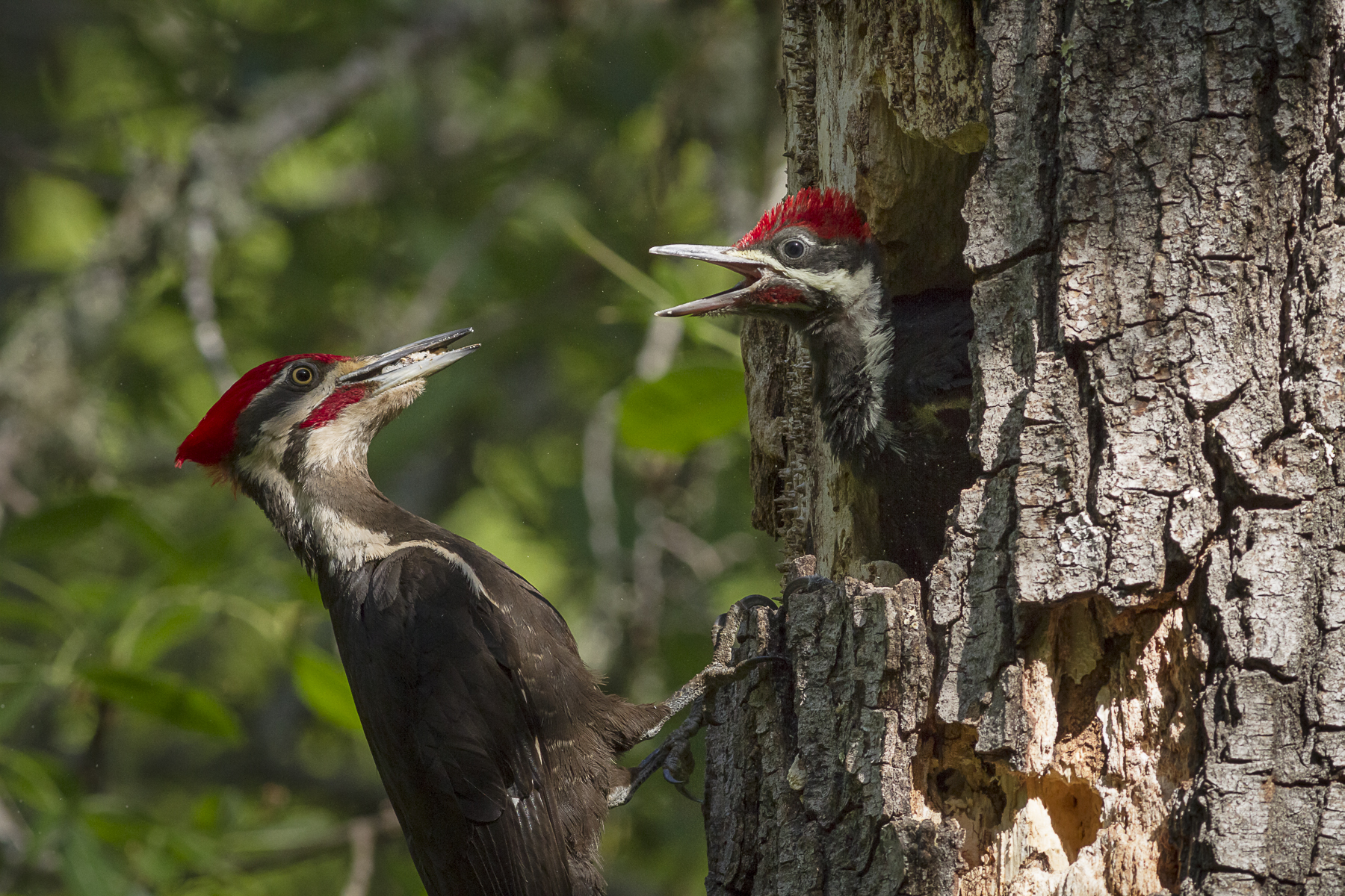
Adult & Juvenile Pileated Woodpecker – by Sylvia Hunt
MCBBA2 Data Explorer
By William Wiskes – GIS Analyst
Look here for protocols & survey forms, project maps, lists of breeding species from the historic atlas compared to preliminary lists from this one, and progress updates. Like the name says: explore, and you’ll find all sorts of resources!

